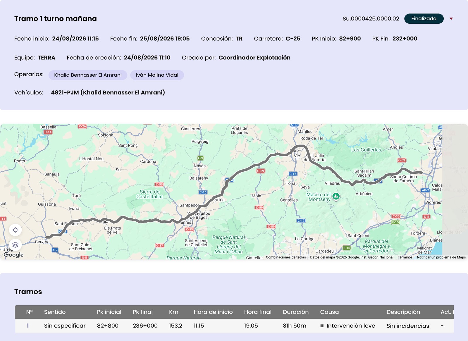
The crew opens the segment and drives. The GPS logs the track automatically and places it on
the road by its kilometre point (PK), segment by segment, with nothing for the crew to write
down by hand.
Nothing is lost without coverage
If the vehicle loses signal mid-segment, the route doesn’t disappear from the screen: the
segment stays visible and the GPS keeps logging points on the device itself. Once coverage
returns, everything uploads on its own — no segment needs to be repeated or rebuilt by hand.
Direction changes are detected on their own
When the vehicle turns around mid-segment, ROIS detects it from the GPS track itself — with
nothing for the crew to tap — and splits the segment at the real turning point, with its
timestamp and coordinates.
From the road to the report
Every segment driven gets linked to the interventions, accidents or communications generated
during the route. The report is generated as a PDF, with the route’s summary sheet and the
segment table exactly as it appears on screen.
What it looks like in the app
Surveillance route
The crew drives the route and it records itself, even where there is no coverage. The map and each segment record are ready right away.
GPS track and covered segments
PK, duration and pause cause per stop
Team, crew and assigned vehicle
Keeps recording without coverage
Let's talk about your operation
Tell us how your crews work on the road and we will show you how ROIS fits.